Kumano Kodo
Kumano Kodo pilgrimage trail guide — the Nakahechi route, Kumano Hongu Taisha, Nachi Taisha, and honest logistics for a genuinely remote hike.
Wakayama: Wakayama Kumano Kodo Hongu Taisha walk
Quick facts
- Distance from Osaka
- 3-4 hours (train + bus)
- Days needed
- 1-3 depending on route
- UNESCO status
- Since 2004
- Best months
- April-May, October-November
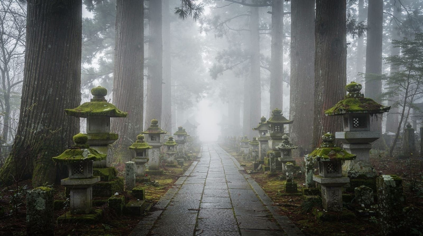
The Kumano Kodo is a network of pilgrimage trails crossing the mountainous interior of the Kii Peninsula, in continuous use for over a thousand years by pilgrims walking between three grand shrines — Kumano Hongu Taisha, Kumano Nachi Taisha, and Kumano Hayatama Taisha — collectively known as the Kumano Sanzan. It’s one of only two pilgrimage routes in the world granted UNESCO World Heritage status (alongside Spain’s Camino de Santiago, and the two are formally twinned as sister pilgrimage routes), and it’s a genuinely different kind of Kansai experience from Osaka, Kyoto, or Nara: remote, physically demanding in sections, and built around walking rather than sightseeing from a bus window.
Getting there — the honest logistics
This is the least convenient destination covered on this site, and it’s worth saying plainly rather than glossing over: reaching the Kumano region from Osaka takes three to four hours each way by a combination of JR train and local bus, and the trailheads and shrines are spread across a wide, sparsely served rural area with buses that run infrequently, sometimes only a handful of times per day.
The typical route from Osaka runs via the JR Kisei Line’s “Kuroshio” limited express to Kii-Tanabe Station (about 2.5-3 hours from Shin-Osaka or Tennoji), followed by a local bus into the mountains toward Hongu or the Nakahechi trailheads (another 60-90 minutes depending on the starting point). This isn’t a casual half-day add-on to an Osaka-based trip — it requires a dedicated day at minimum, and an overnight in the region is strongly preferable to a single long day of transit sandwiching a short hike.
The Nakahechi route
The Nakahechi is the most historically significant and most-walked of the Kumano Kodo’s several routes, historically used by retired emperors and aristocrats making pilgrimage from Kyoto, and it’s the route most guided tours and independent hikers focus on today. A full traverse from Takijiri-oji to Kumano Hongu Taisha takes experienced hikers two to three days, covering roughly 38km of forest trail, stone steps, and mountain passes with several small villages and traditional minshuku (family-run guesthouses) along the way for overnight stops.
Shorter sections — most commonly the roughly 7km stretch from Hosshinmon-oji to Hongu Taisha, doable in about 2.5-3 hours — are a realistic option for visitors without the time or physical preparation for the full multi-day route, and it’s the most popular single-day introduction to the trail.
Kumano Kodo walk to Kumano Hongu Taisha covers this shorter, more accessible stretch with a guide, a sensible entry point for visitors curious about the pilgrimage without committing to a multi-day trek. For those starting the day from Osaka itself, Kumano Kodo hiking day tour from Osaka handles the long transit and hike in a single (long) day.
Kumano Hongu Taisha
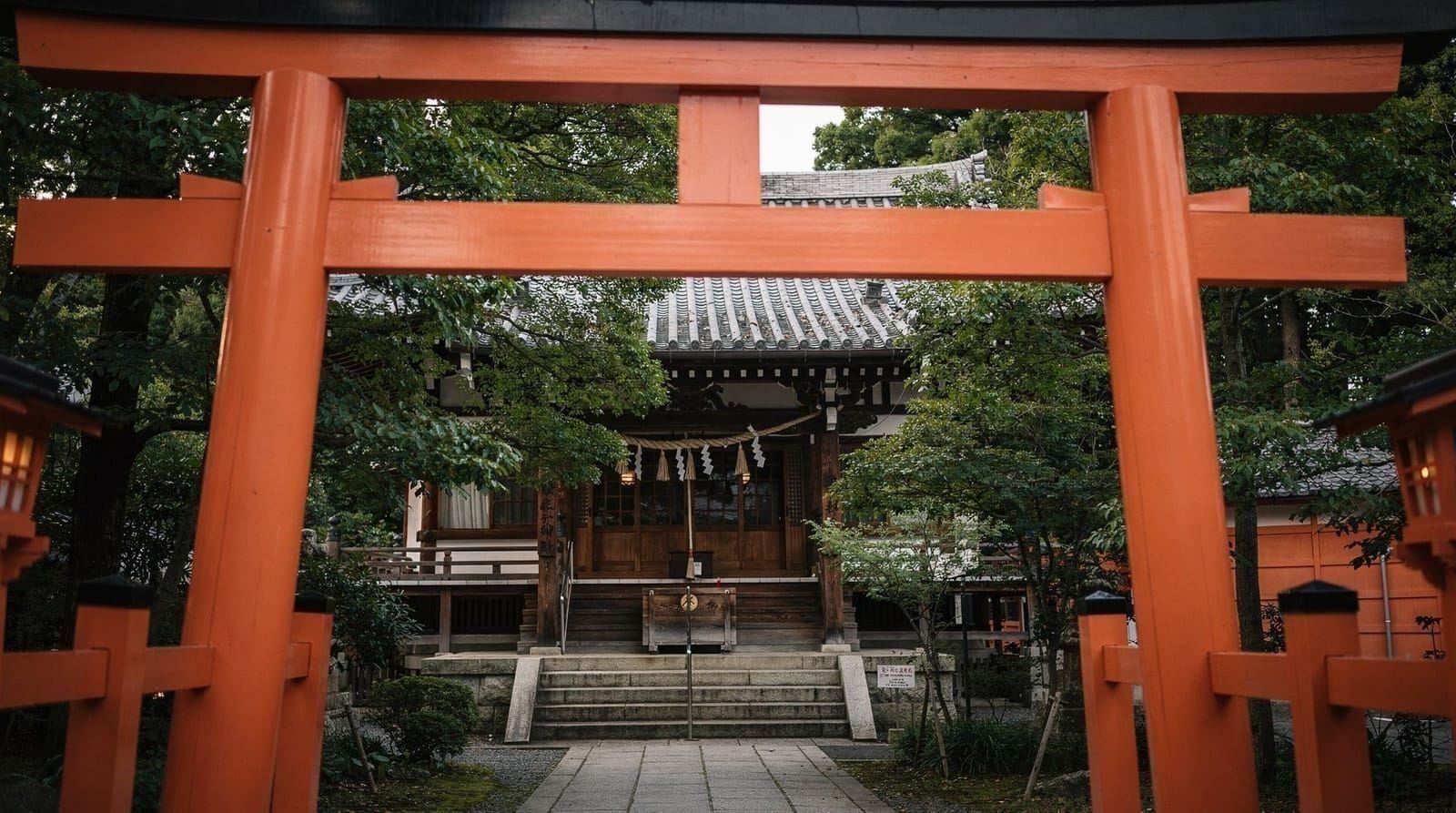
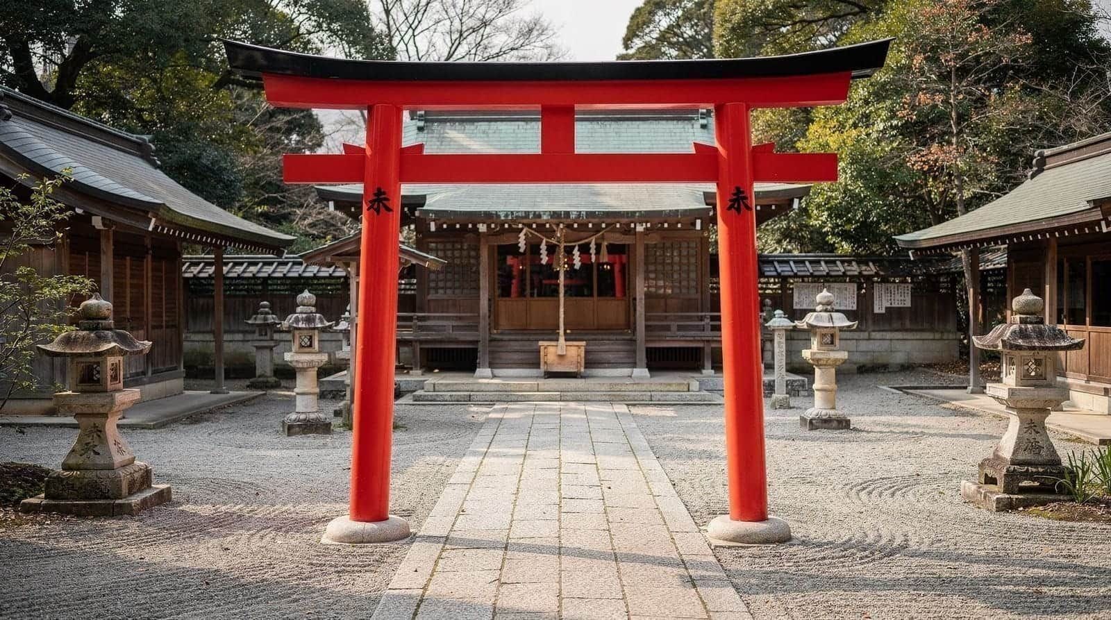
Kumano Hongu Taisha is the spiritual center of the three Kumano shrines and the traditional endpoint of the Nakahechi route, rebuilt on its current hillside site in 1889 after the original riverside location (a sandbar called Oyunohara, still visible today) was destroyed by flooding.
Oyunohara now holds Japan’s largest torii gate, a 34-meter steel structure completed in 2000, visible from a considerable distance across the valley and worth the short additional walk from the current shrine. Entry to the shrine grounds is free; a small fee applies for the treasure hall. The shrine’s crow-footed Yatagarasu symbol, associated with guidance and used on Japan’s national football team badge, originates from Kumano mythology and appears throughout the region’s shrine imagery.
Kumano Nachi Taisha and Nachi Falls
At the pilgrimage route’s southeastern end, Kumano Nachi Taisha sits beside Japan’s tallest single-drop waterfall, and the combination of the shrine’s vermilion buildings, the adjacent three-story pagoda of Seiganto-ji, and the 133-meter falls in the background is one of the most photographed single views in the Kii Peninsula. This part of the region has its own dedicated page — see Nachi Falls for full detail on access, prices, and the combined shrine-and-waterfall visit.
Kumano Nachi Taisha and Seiganto-ji waterfall tour covers this southeastern section of the pilgrimage route in a single guided visit, useful if Hongu and Nachi aren’t both feasible on the same trip.
Kumano Hayatama Taisha
The third of the Kumano Sanzan, Kumano Hayatama Taisha sits in the coastal town of Shingu, at the mouth of the Kumano River, and traditionally marked one endpoint of the ancient pilgrimage route that once continued upriver by boat from here toward Hongu — a river pilgrimage route (Kumano-gawa) that some tour operators still recreate today by traditional flat-bottomed boat.
The shrine’s vermilion buildings sit against a backdrop of Gongen-yama, a modest but sacred mountain behind the complex, and it’s a quieter, less-visited stop than Hongu or Nachi despite completing the trio of grand shrines. Shingu itself is a reasonable overnight base for visitors approaching the region from the east or continuing toward Nachi Falls, with train connections along the coast.
Other Kumano Kodo routes
Beyond the Nakahechi and Kiiji, the Kumano Kodo network includes the Ohechi (a longer coastal route hugging the Kii Peninsula’s Pacific-facing shore, popular for sea views but requiring considerably more time) and the Kohechi (a demanding, high-mountain route connecting Koyasan directly to Hongu across several steep passes, walked historically by ascetic monks and today mainly by serious, well-prepared long-distance hikers). Both require considerably more logistical planning and physical preparation than the Nakahechi’s shorter, more accessible sections, and neither is realistic for a first-time visitor without dedicated multi-day hiking experience in Japan.
Dual pilgrim certification with the Camino de Santiago
Because the Kumano Kodo and Spain’s Camino de Santiago are twinned as sister UNESCO pilgrimage routes, hikers who complete a qualifying stretch of both routes (documented through stamps collected at designated points along each trail, similar to the Camino’s credential system) can apply for a Dual Pilgrim certificate recognizing completion of both — a niche but genuine draw for hikers who’ve already walked the Camino and want a second, structurally similar pilgrimage experience in Japan. Stamp stations along the Nakahechi are marked on maps available at the Tanabe City Kumano Tourism Bureau, worth stopping at before starting the trail if this interests you.
Guided versus independent hiking
The Nakahechi’s major junctions are generally walkable independently with a good map or GPS app, and English-language trail information has improved considerably in recent years through the Tanabe City Kumano Tourism Bureau’s resources.
That said, a guided walk removes the logistical friction of matching bus schedules to trailhead timing (a genuine source of stress on a route where buses run a handful of times per day) and adds historical and religious context that’s easy to miss walking past unmarked shrine ruins and roadside jizo statues without knowing their significance. Independent hiking suits visitors comfortable navigating rural Japan with limited English signage; a guided tour suits those who’d rather not risk missing the last bus back.
The Kiiji route, an easier alternative
For visitors who want a taste of the Kumano Kodo without the remoteness of the Nakahechi’s mountain sections, the Kiiji route runs along the Kii Peninsula’s western coastline closer to Wakayama City, with easier terrain and considerably better transport access — a genuine tradeoff of authenticity and difficulty for convenience.
Kumano Kodo Kiiji walking tour in Kainan City covers this more accessible coastal stretch, a reasonable option for visitors short on time or hiking experience who still want to walk a genuine, historically documented section of the pilgrimage network.
What to actually expect on the trail
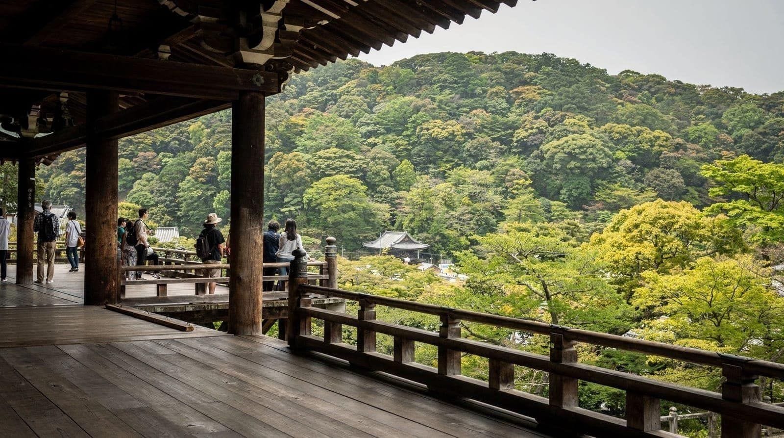
Sections of the Nakahechi involve genuine elevation gain on uneven stone and dirt paths, occasionally steep, with limited signage in English on the less-trafficked stretches (major junctions are generally well marked, but side trails less so). Mobile phone coverage is patchy across much of the route, and services — food, water, toilets — are sparse between the small villages, so carrying water and a basic trail lunch is standard practice rather than an option.
This isn’t a manicured tourist path; it’s a working rural hiking trail that happens to also be a UNESCO World Heritage pilgrimage route, and treating it with the same preparation as any moderate day hike (proper footwear, layers, water) matters more here than at any other destination covered on this site.
| Where | Kii Peninsula mountains, Wakayama Prefecture |
| Cost | Trail free; overnight minshuku ¥10,000-18,000/person |
| Time needed | 1 day (short section) to 2-3 days (full Nakahechi) |
| Getting there | 3-4 hours from Osaka (train + bus) |
| Best time | April-May or October-November |
Choosing a route by fitness and time available
With several routes of very different length and difficulty, it helps to match one to your actual schedule and hiking experience rather than defaulting to the most famous option.
| Route/section | Length | Difficulty | Best for |
|---|---|---|---|
| Hosshinmon-oji to Hongu Taisha | ~7km, 2.5-3 hrs | Easy-moderate | First-timers, single-day visitors |
| Full Nakahechi traverse | ~38km, 2-3 days | Demanding | Experienced multi-day hikers |
| Kiiji (Kainan City) | Varies, easier terrain | Easy | Visitors short on time or hiking experience |
| Kohechi (Koyasan to Hongu) | Multi-day, high mountain passes | Very demanding | Serious long-distance hikers only |
Most visitors coming from Osaka without dedicated multi-day hiking plans should default to the Hosshinmon-oji to Hongu Taisha stretch or the Kiiji route — both deliver a genuine, historically documented section of the pilgrimage without the logistics of the full traverse.
Where to stay
Villages along the Nakahechi — Chikatsuyu, Yunomine Onsen, and the area around Hongu itself — have small minshuku and ryokan offering overnight stays with dinner and breakfast included, typically ¥10,000-18,000 (~$92.60-$166.65) per person. Yunomine Onsen, a small hot spring village directly on the route near Hongu, is one of Japan’s oldest onsen towns and includes a UNESCO-listed public bath (Tsuboyu) small enough for only one or two people at a time, bookable in short timed slots — a genuinely unusual, worthwhile stop if the timing lines up.
Kumano Kodo versus a more conventional Kansai day trip
It’s worth being honest about how the Kumano Kodo compares to easier destinations covered elsewhere on this site, since it’s a genuinely different category of trip.
| Kumano Kodo | Koyasan | Fushimi Inari | |
|---|---|---|---|
| Travel time from Osaka | 3-4 hours each way | ~2 hours each way | 40-50 min |
| Physical demand | High (genuine hiking) | Low (walkable town) | Moderate (steps, optional hike) |
| English signage | Limited on side trails | Good | Good |
| Suitability | Experienced, prepared travelers | Most visitors | Nearly everyone |
If the appeal is remote, physically demanding travel with a genuine sense of leaving well-trodden tourist paths, the Kumano Kodo delivers that in a way nothing else in this guide does. If it’s the logistics — the long transit, infrequent buses, and sparse services — that give you pause, Koyasan offers a related pilgrimage atmosphere with far easier access.
Is the Kumano Kodo worth it for a first Kansai trip?
Honestly, for most first-time visitors with limited days, no — the three to four hours of transit each way is a significant investment relative to the payoff for someone who hasn’t yet seen Osaka, Kyoto, or Nara’s more essential sights. It makes far more sense on a second or third Kansai trip, for travelers who specifically want a hiking-focused, remote experience and have already covered the region’s headline destinations, or for those who’ve walked the Camino de Santiago and want the twinned pilgrimage experience.
Frequently asked questions about the Kumano Kodo
How long does it take to get to the Kumano Kodo from Osaka?
Three to four hours each way, combining the JR Kisei Line’s limited express to Kii-Tanabe Station (2.5-3 hours) with a local bus into the mountains (another 60-90 minutes depending on the destination). This is a full day of transit each direction, not a casual add-on.
Do I need to walk the full multi-day route?
No — the roughly 7km stretch from Hosshinmon-oji to Kumano Hongu Taisha, doable in about 2.5-3 hours, is a realistic single-day introduction. The full Nakahechi traverse (about 38km) takes experienced hikers two to three days.
Is the Kumano Kodo well marked and easy to navigate?
Major junctions are generally well signed, including in English, but side trails and less-trafficked stretches have limited signage, and mobile coverage is patchy. It’s a genuine rural hiking trail, not a manicured tourist path.
What is Yunomine Onsen?
A small hot spring village directly on the Nakahechi route near Kumano Hongu Taisha, considered one of Japan’s oldest onsen towns, with a tiny UNESCO-listed public bath (Tsuboyu) bookable in short timed slots.
Is the Kumano Kodo suitable for casual travelers, or only serious hikers?
Both, depending on the section chosen — the shorter Hosshinmon-oji to Hongu stretch or the easier coastal Kiiji route are accessible to reasonably fit casual walkers, while the full multi-day Nakahechi traverse suits experienced, prepared hikers.
What should I pack for a Kumano Kodo hike?
Proper walking shoes, water, a trail lunch or snacks, and layers, since services between villages are sparse. Treat it with the same preparation as a moderate day hike rather than a paved sightseeing walk.
How does the Kumano Kodo relate to Koyasan and Nachi Falls?
The Kumano Kodo network connects historically to both — some pilgrims historically walked from Koyasan toward the Kumano shrines, and the Nakahechi route’s southeastern branch leads to Kumano Nachi Taisha beside Nachi Falls. See the Koyasan and Nachi Falls destination pages for those connections.
Top experiences
Bookable activities with verified prices and instant confirmation on GetYourGuide.